Remote Sensing & Exploration
Consulting across the exploration-to-mine-planning chain: spectral targeting, structural field verification, resource estimation, open pit design and LiDAR terrain analysis. Available worldwide.
Services
Multispectral and hyperspectral targeting using Sentinel-2, ASTER and EnMAP data in Google Earth Engine to map alteration halos, lithology and structural corridors.
Mapping and ground-truthing of remote sensing anomalies, fracture and vein network analysis, and digital field profiling.
Handheld XRF screening and ICP-OES interpretation to test and refine spectral and structural targets.
QGIS and GRASS GIS workflows, PCA band analysis, and client-ready exploration reports and maps.
Target generation and advisory for pegmatite (REE, Nb-Ta, Li), gold, base-metal and manganese systems.
Grade modelling in Leapfrog Edge (implicit modelling, IDW, kriging) and Datamine Studio RM.
Pit layout, bench and ramp design and phased mine planning built on the resource model.
Pillar sizing and slope stability assessment for pit and underground designs.
Ground-filtering ALS/UAV point clouds to remove vegetation and extract bare-earth DEMs.
Assessing and correcting SRTM and other spaceborne DEM errors for reliable terrain input.
Detecting subsidence over pits, workings and tailings facilities using satellite-derived DEMs.
Radar interferometry for ground movement detection, with vegetation-bias correction.
Precise positional control underpinning mine surveying, resource estimation and pit design.
Method
Remote sensing across multispectral and hyperspectral imagery flags alteration, lithology and structural anomalies.
Field mapping confirms or discards each anomaly against real structural evidence.
XRF and ICP-OES geochemistry test surviving targets.
GIS-ready maps and a client report, with targets ranked for follow-up.
Portfolio
Toto LGA, Nasarawa State
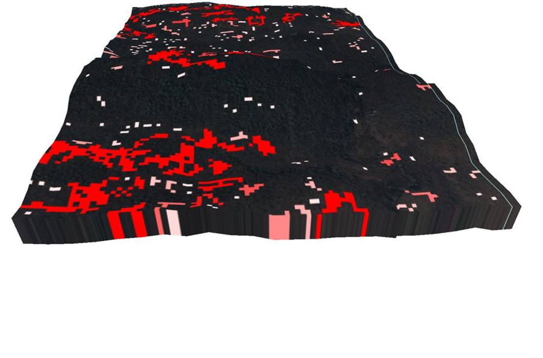
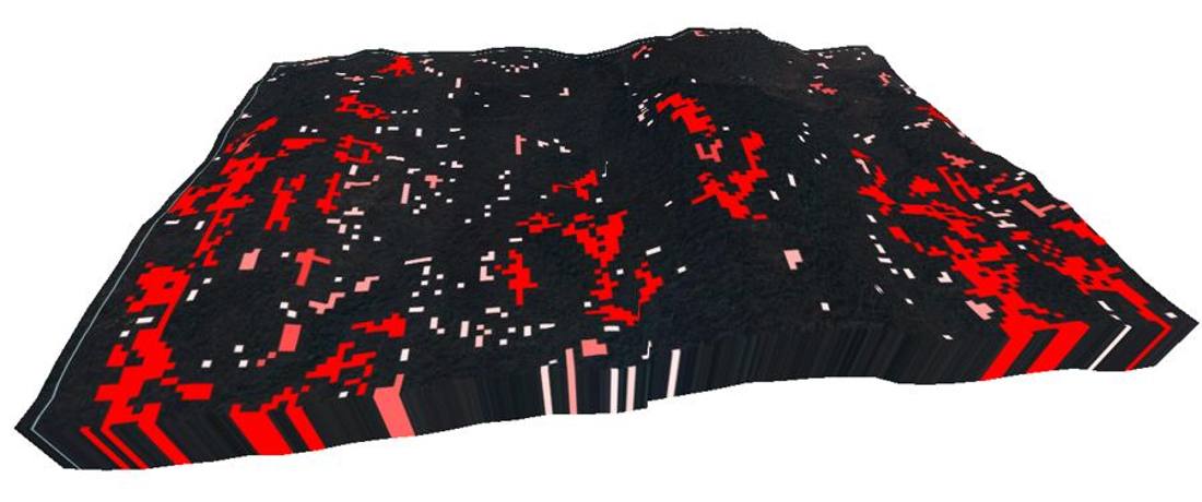
Gold exploration in schist belts: delineated mineralised quartz-vein corridors with grades of 2 g/t Au or higher through structural mapping and remote sensing, including Sentinel-2 hydrothermal alteration analysis and 3D terrain visualisation.
Plateau State
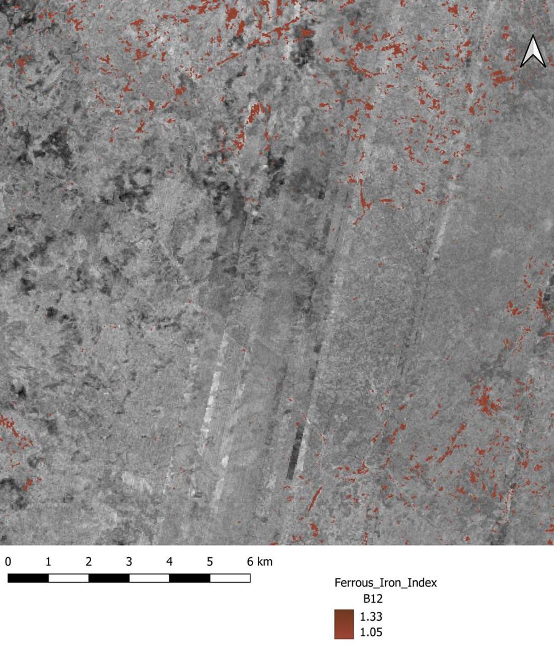
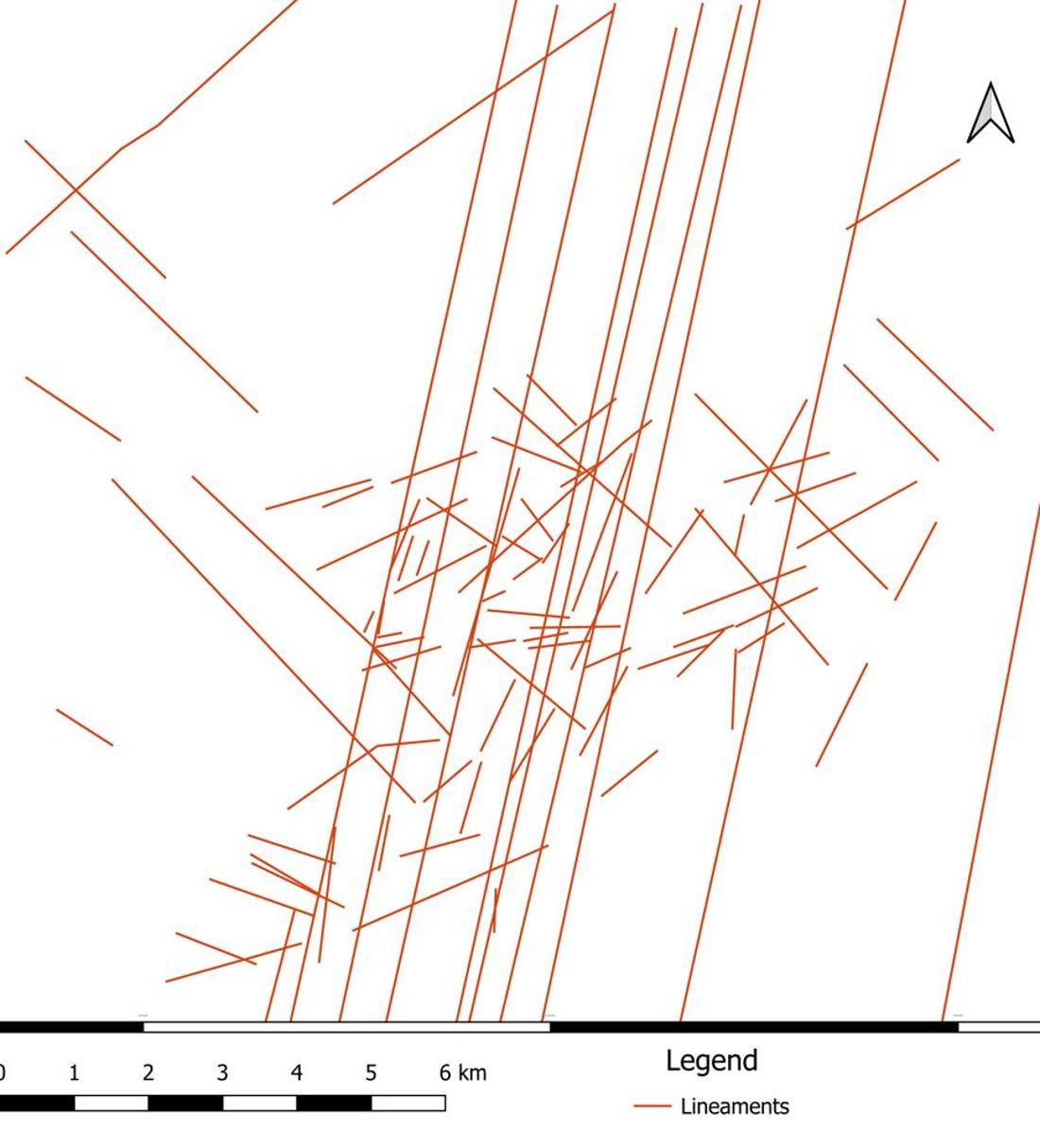
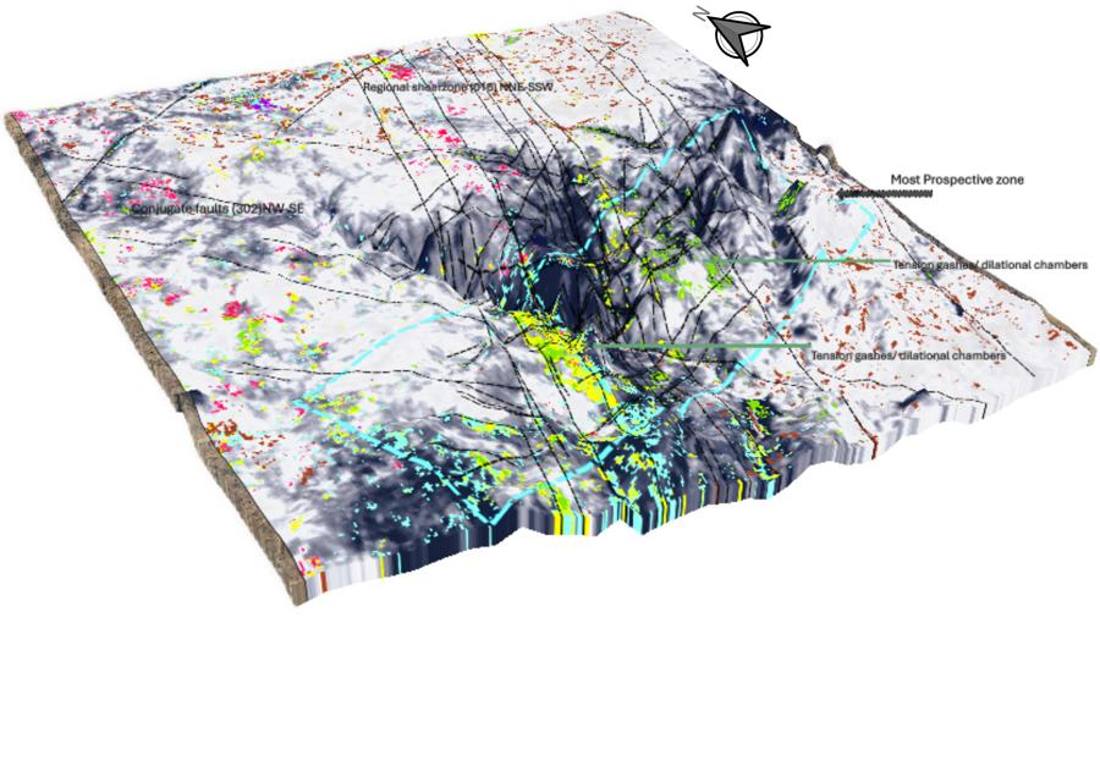
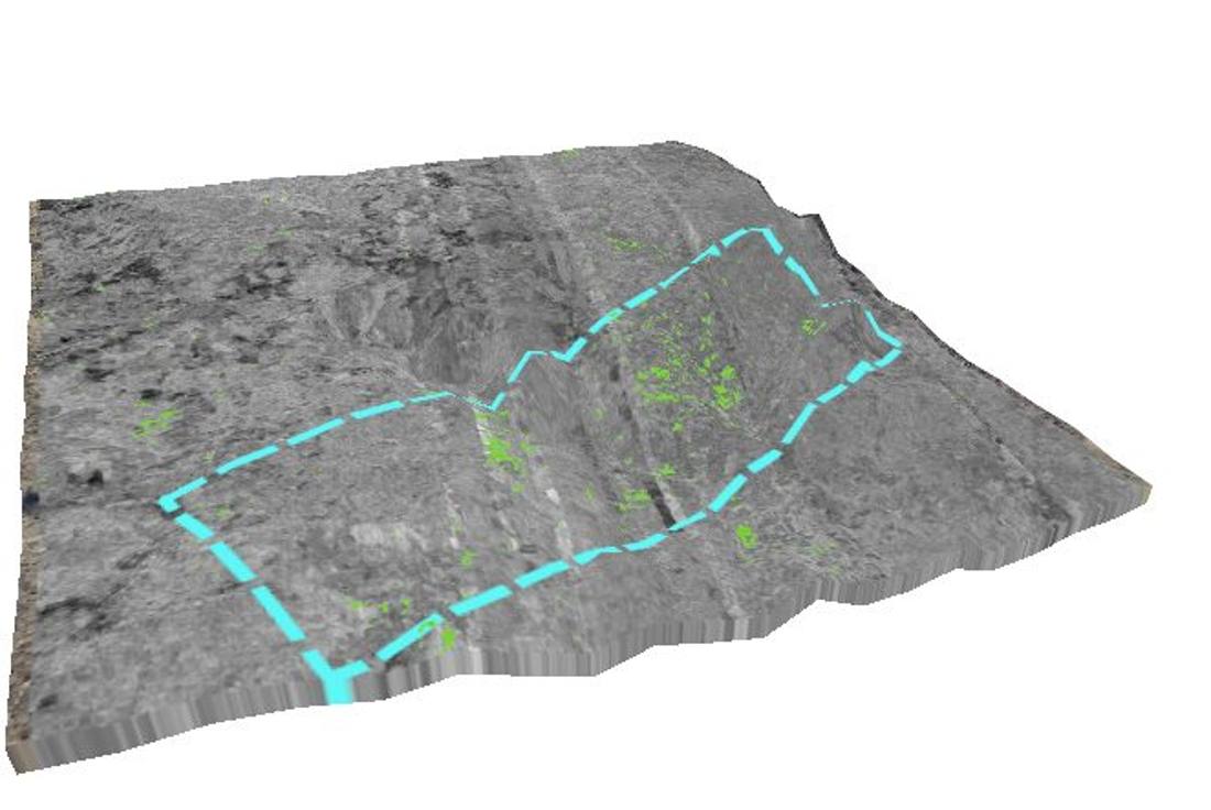
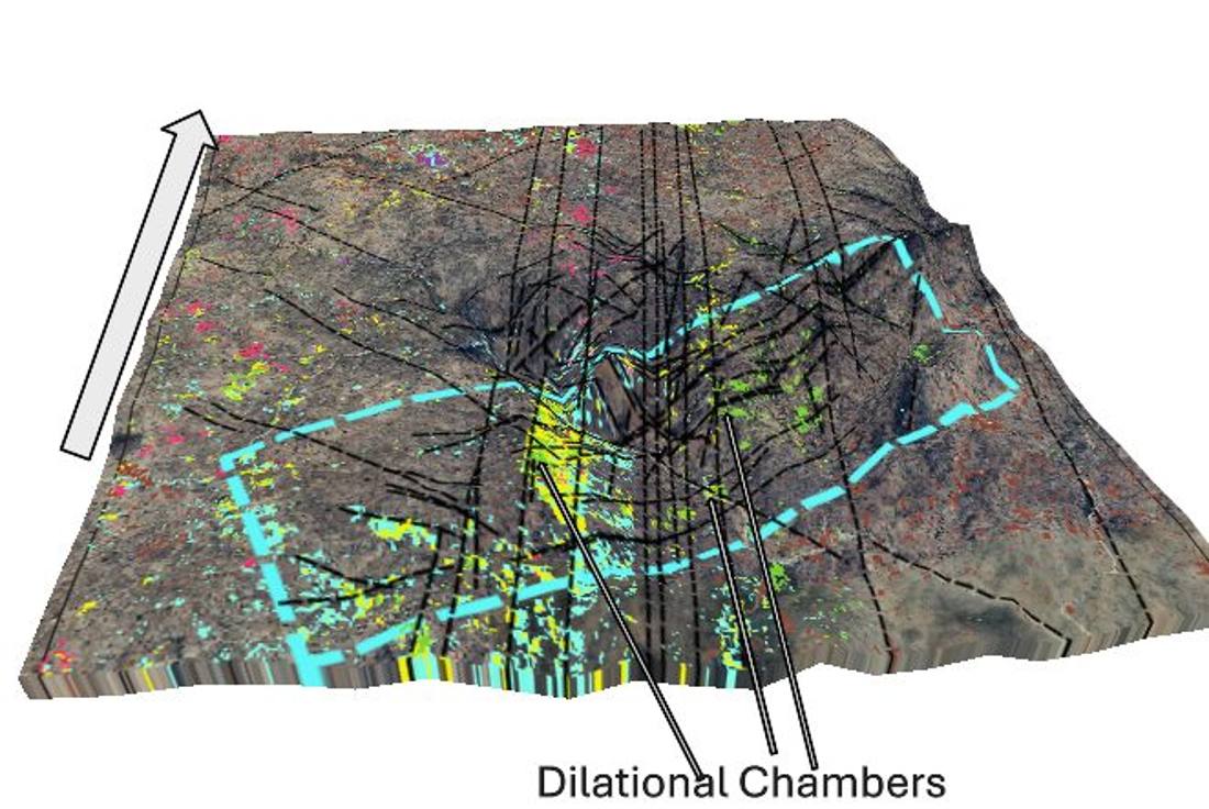
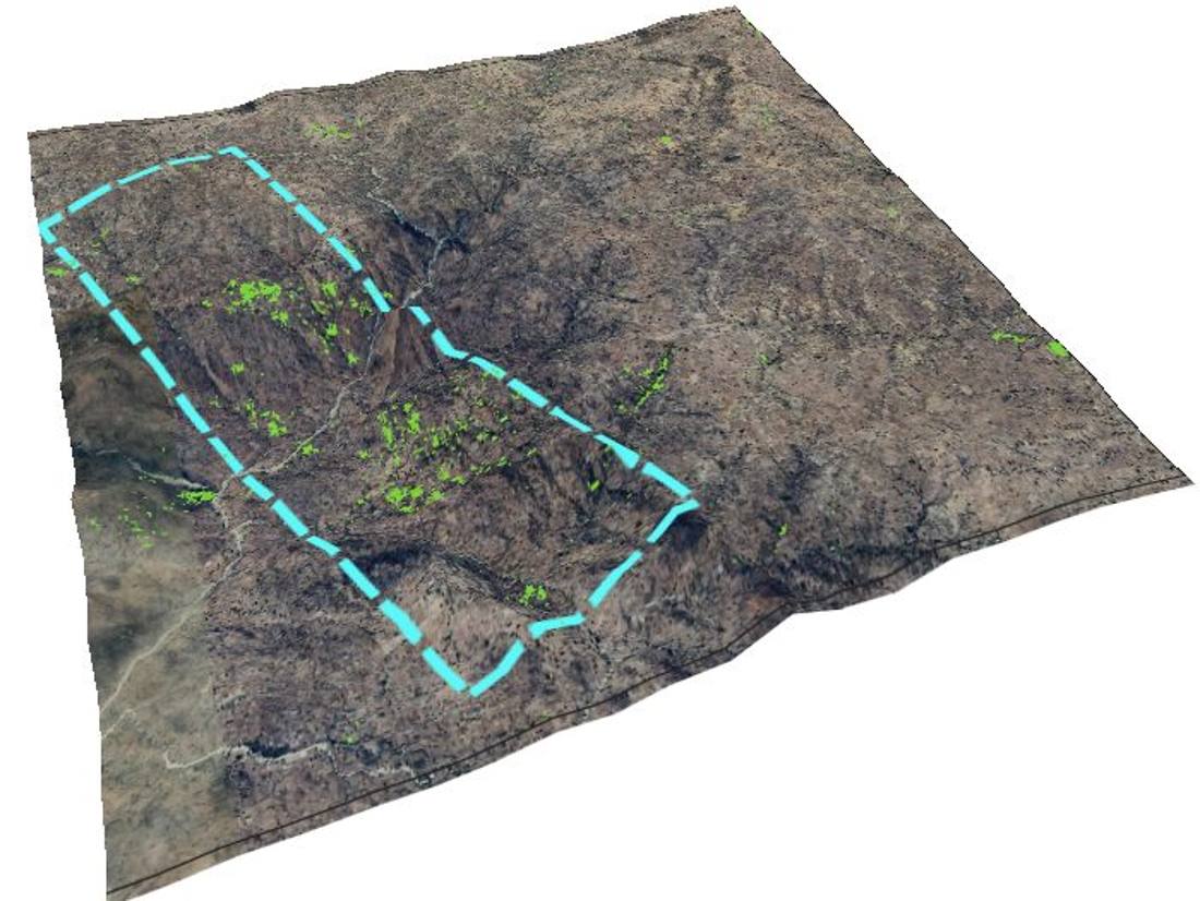
NYF pegmatite exploration: identified an unreported, highly fractionated pegmatite corridor bearing Nb-Ta, HREEs, gold and silver, validated with EnMAP, Sentinel-2 and ASTER mapping, structural field mapping of en-echelon tension fissures and conjugate faults, and XRF/ICP-OES geochemistry.
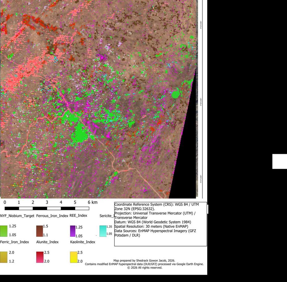
Akwana, Middle Benue Trough
Base-metal exploration: mapped fault-hosted galena and sphalerite veins and associated hydrothermal alteration.
Isanlu-Egbe Schist Belt, Kogi State
Manganese exploration: mapped metasedimentary manganese ore bodies with the National Steel Raw Material Exploration Agency.
Jos Plateau
Automated extraction and statistical analysis of fracture networks from ALS/UAV LiDAR data, with implications for groundwater flow and mineral exploration. This work underpins our DFN Block Builder software.
Enquiries
Registered in Nigeria and available for remote spectral targeting or on-site fieldwork worldwide.
 Jacob's Boon Resources